São Sebastião, Sao Paulo, Brazil
Suggest Place to Visit
2930
Track to location with GPS |
 |
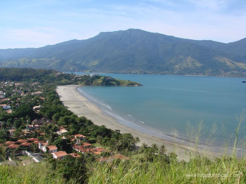
It is the oldest city on the north coast. Before Portuguese colonization, the region of São Sebastião was occupied by Tupinambás and Tupiniquins Indians, with the Boiçucanga mountain range being a natural border of the tribes' lands.
The Portuguese occupation occurs with the beginning of the History of Brazil, after the division of the territory in Hereditary Captaincies. Then the village began, developing the place with agriculture and fishing.
At that time, the region had dozens of sugar cane mills, responsible for greater economic development and characterization as a housing and political nucleus. This made possible the emancipation of São Sebastião.
One of the main meeting points for city dwellers is Rua da Praia, in the center of the city, where the largest skate park in the city is located with 7,000 m² and considered the largest in Brazil, in addition to the municipal theater.
Source: wikipedia
Its limits are Caraguatatuba to the north, the Atlantic Ocean to the east and south, Bertioga to the west and Salesópolis to the northwest.
The island of São Sebastião, whose territory corresponds to the municipality of Ilhabela, is opposite the east coast of São Sebastião. The commercial center of the city is located on this coast. Between the city and the island is the São Sebastião channel, which has a minimum width of only 3 km, where the crossing can be made by the São Sebastião-Ilhabela Crossing by ferry.
In the channel is the port of São Sebastião and the pipeline of the largest unit of Transpetro (the Petrobras subsidiary responsible for transporting oil and other fuels), responsible for 80% of the fuel exported by the country. The south coast has tourist beaches, such as Guaecá, Toque-Toque, Maresias, Boicucanga, Barra do Saí.
Virtually everything in the city is located in the narrow flat areas between the sea and the mountains, except for cell phone towers and electrical transmission towers. In the central portion of the city, these areas are no more than 3 km wide, but they can be twice as large in the less populated regions to the west. Most of the city is concentrated between Praia da Enseada (the last one before Caraguatatuba) and Praia de Guaecá. From Toque Toque Grande to Boracéia (the last one before Bertioga), there are many hotels, summer houses and nightclubs. The Guaratuba River forms the border with Bertioga, while the Juqueriquerê River forms the border with Caraguatatuba.
The city has an oceanic climate, with an average annual temperature of 24°C.[5] Most of the mountains and islands are covered by the Atlantic Forest.
Two districts form the municipality: District of São Sebastião and District of Maresias.
Maresias is a popular spot for surfers on the coast of São Paulo. It was these sportsmen who discovered the region, at the time accessible by a dirt road in precarious conditions, about 20 years ago. The beach has strong surf caused by a parcel. Today Maresias is considered the São Paulo version of the carioca Ipanema. It is on the busiest axis of the region, which also includes the beaches of Boicucanga, Camburi and Juqueí. It has one of the best tourist infrastructures in São Sebastião with bars, restaurants, hotels, inns, campsites and a nightclub.
Camburi is quite busy, frequented by a large number of tourists and surfers. Camburi beach is separated from Camburizinho beach by a river that flows into a small island. It has a permanent lifeguard station for the Fire Department. It has campsites, hotels, inns, market and caiçara craft shops. Close to the border with the city of Bertioga, an indigenous village is located.
source: wikipedia
In addition to the 36 beaches (see below), the city has some places to visit, such as the Igreja Matriz de São Sebastião, the Museum of Sacred Art, the Convent of Nossa Senhora do Amparo and the Franciscano Convent.
The city center can be divided into two parts: one, an old one, around the main church, full of colonial Brazil houses, which today house bars, restaurants, hotels and public offices.
The other part, modern, is located next to the sea, in an embankment. It is one of the main meeting points for residents of the city, with Rua da Praia as its main street, where the largest skate park in the city is located with 7,000 m² (considered the largest in Brazil), in addition to the municipal theater. there are also many ice cream shops, restaurants, bars, craft fairs and a large square.
Source: wikipedia
Comments
We don´t have yet any comments about:
São Sebastião - General Information
São Sebastião - General Information
Be the first to leave a comment as it is very important to inform other people
Outros locais a visitar
Within a radius of 20 km from:São Sebastião - General Information
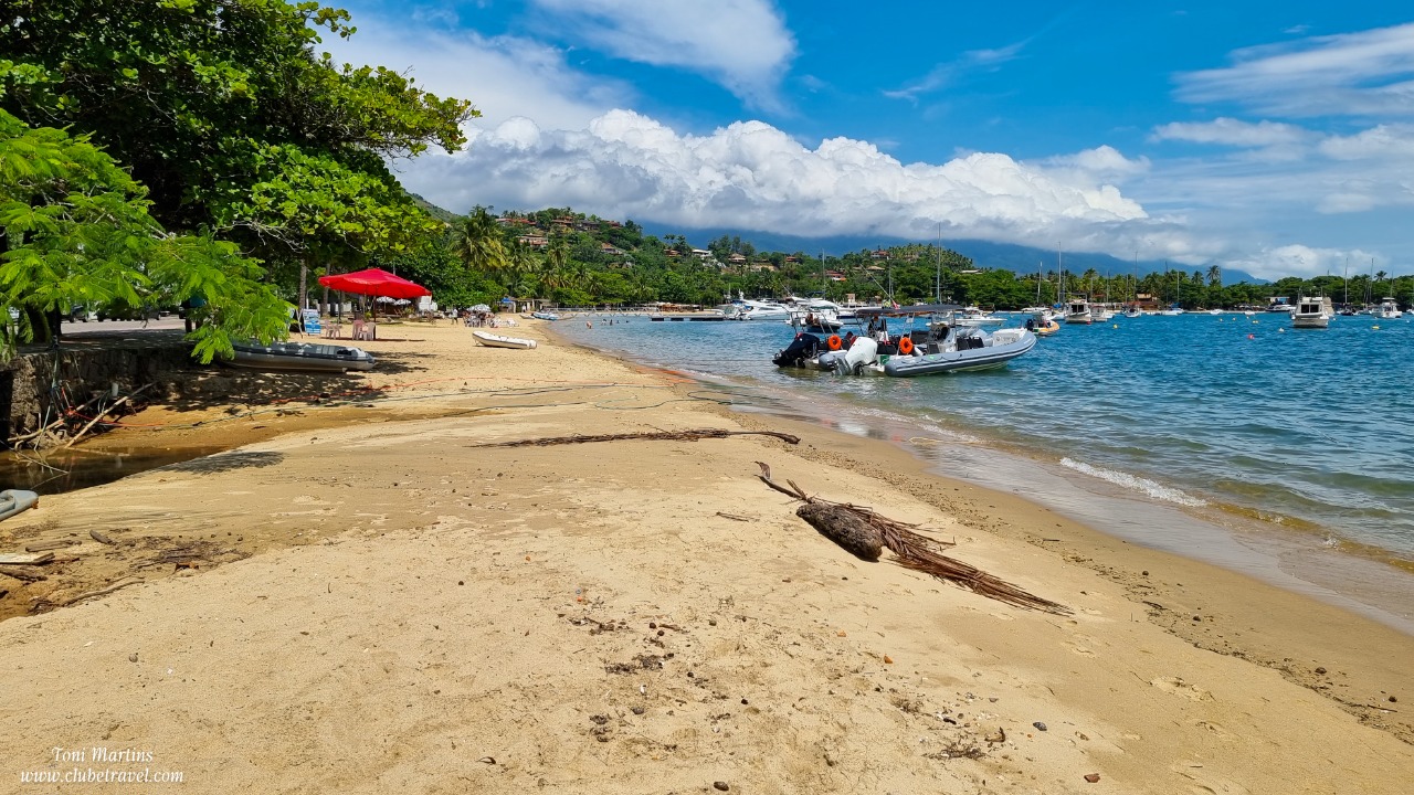
Saco da Capela Beach, Ilhabela |
| 1,6 Km |
 |
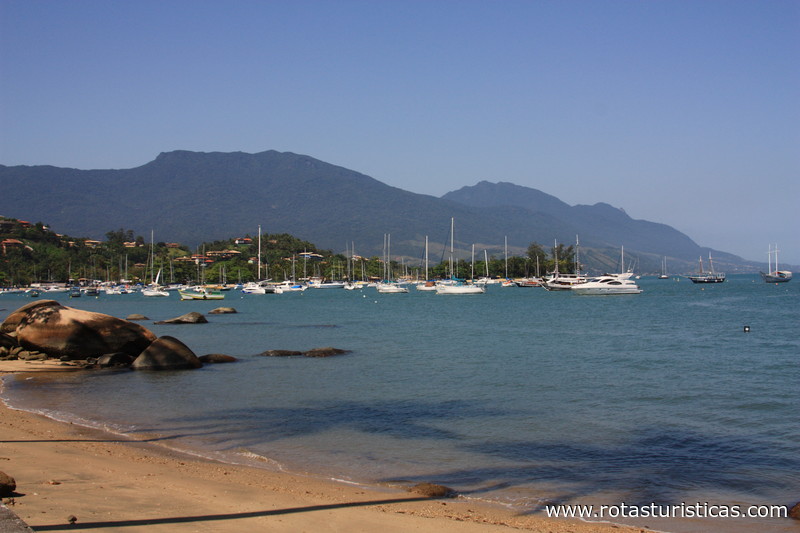
Pequeá beach (IlhaBela) |
| 1,9 Km |
 |
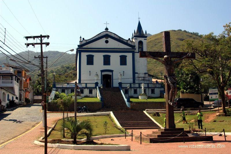
Church of Our Lady D'Ajuda (Ilhabela) |
| 2,1 Km |
 |
Ilhabela Municipality (Brazil) |
| 2,3 Km |
 |
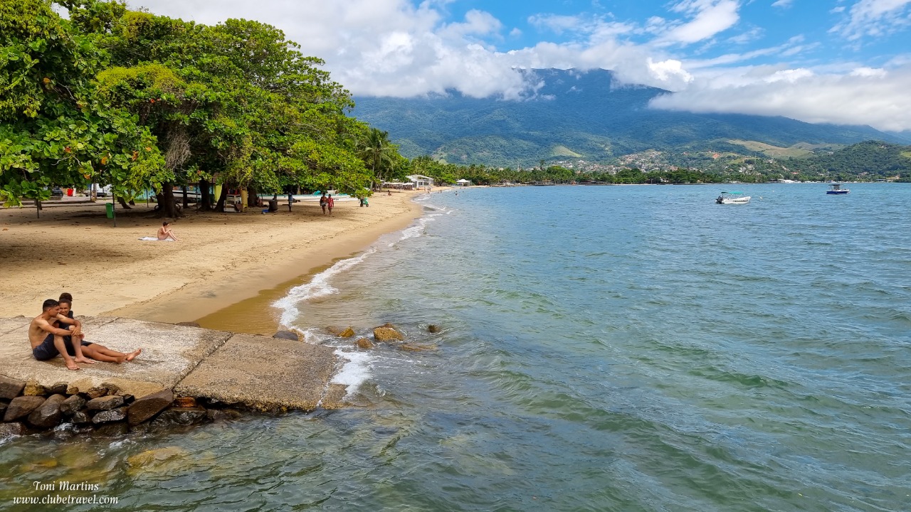
Beach of Pereque (Ilhabela) |
| 2,6 Km |
 |
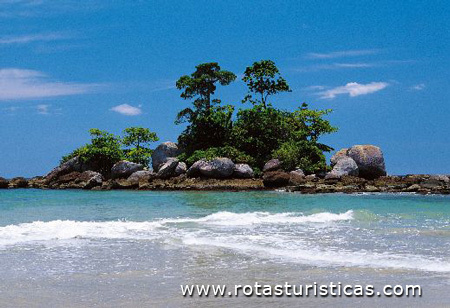
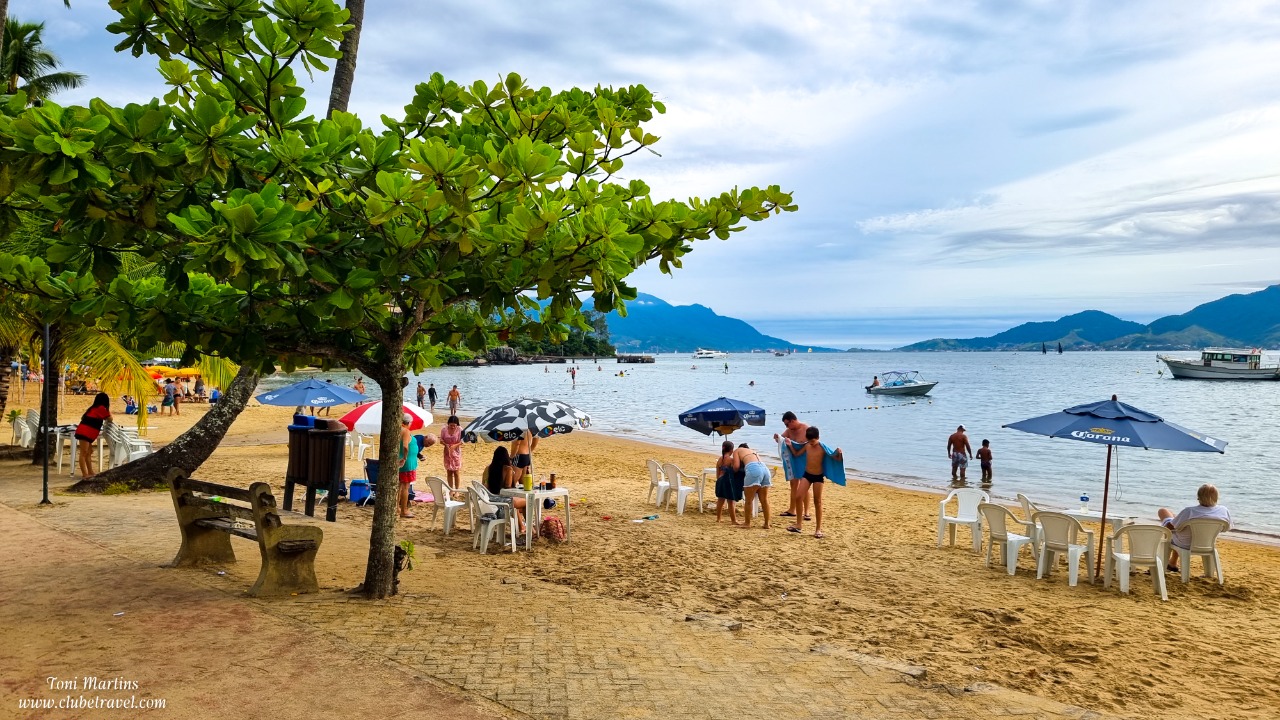
Garapocaia beach or Pedra do Sino beach |
| 5,1 Km |
 |
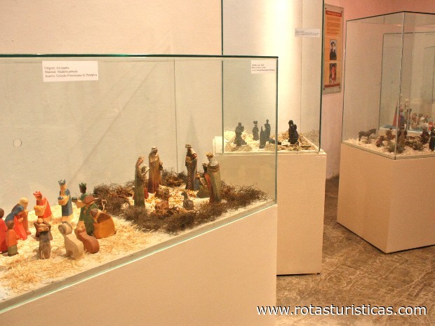
St. Sebastian's Museum of Sacred Art |
| 5,7 Km |
 |
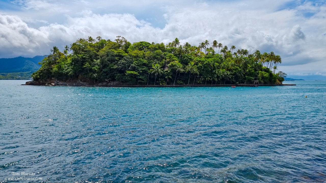
Ilha das Cabras, Ilhabela |
| 6,2 Km |
 |
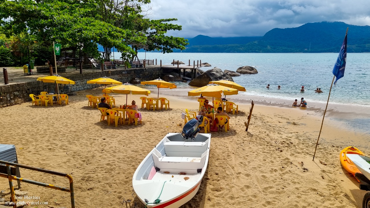
Praia do Portinho, Ilhabela |
| 8,2 Km |
 |
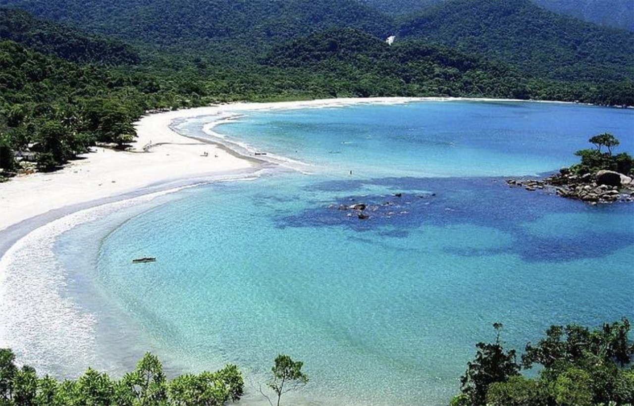
Castelhanos Beach, Ilhabela |
| 8,8 Km |
 |
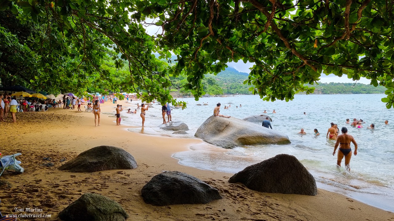
Juliao Beach, Ilhabela |
| 9,7 Km |
 |
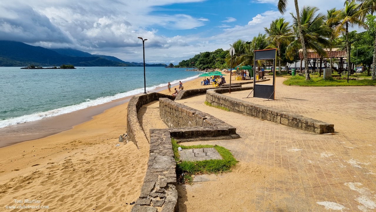
Praia Grande of Ilha Bela |
| 10,2 Km |
 |
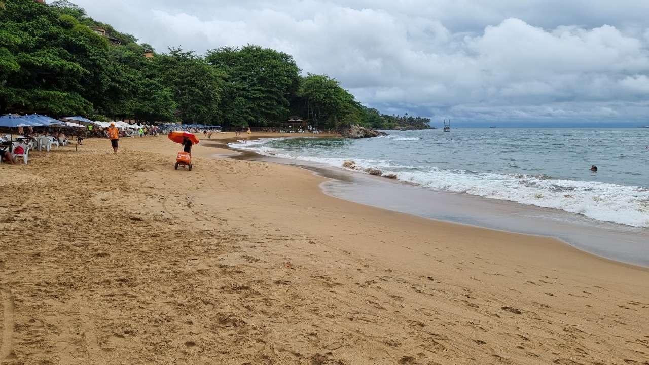
Praia do Curral, Ilhabela |
| 12,0 Km |
 |
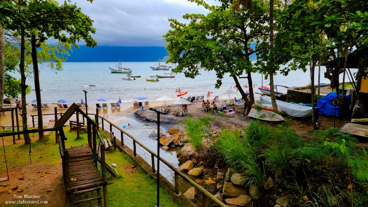
Veloso Beach, Ilhabela |
| 12,5 Km |
 |
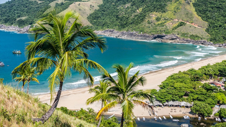
Bonete Beach, Ilhabela |
| 13,8 Km |
 |
Hotel reservation near São Sebastião - General Information within a radius of 20 km
Why to book with CLUBE TRAVEL
The best prices
Our partnerships with the world´s largest operators offer research on the best market prices.
More options
At Rotas Turisticos you can book the hotel, buy the air ticket, book the transfer from the airport to the hotel and vice versa, book the local excursions, rent the car, take travel insurance and consult the places to visit and where to go.
Holiday Tips & Destinations
Hundreds of holiday destinations with all the options that allow you to easily choose the destination that best suits your dream vacation.
CLUBE TRAVEL
Links


